
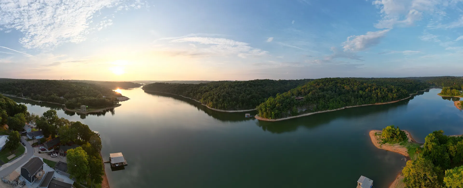
Aerial photography & video
Aerial · Northwest Arkansas
Your property from a perspective nobody else has
FAA certified commercial drone pilot (Part 107). Real estate listings, event venues, construction progress, or photos of your business for a website that could use something better than a stock image.
Stills
Up to 100MP — big enough to crop hard and still print at size.
Video
6K at 60fps, 4K at 120fps for slow motion — room to reframe in the edit and still deliver 4K.
Panoramics
Four flavors: sphere, 180, wide angle and vertical.
Internal ND filter
Clean exposure in bright sun, no blown-out skies.
Photos start at $50 and video starts at $100, depending on the site, the length and how much editing you want. Tell me what you're shooting and where, and I'll give you a real number.
Before we fly
Tell me where you're shooting when you get in touch — I check the airspace before anything else. Most sites within a few miles of an airport clear the same day through LAANC. A true no-fly zone needs FAA paperwork that takes weeks, and it's better to find that out now than the morning of the shoot.